Victoria Severe Weather Warning: Heavy Rainfall and Flash Flood Risk for Northeast Ranges on Tuesday
The Bureau of Meteorology issued a Severe Weather Warning on 24 August 2026 for East Gippsland, North East, and West and South Gippsland, forecasting 50-60 mm of rain in six hours and flash flooding early Tuesday.
Original report
ewn.com.au
Industry impact
Localised flash flooding and severe thunderstorms in Victoria's northeast ranges could disrupt regional airfield access and ground movements around affected mountain and valley locations.
The Bureau of Meteorology issued a Severe Weather Warning at 11:53 am on Monday, 24 August 2026, covering parts of the East Gippsland, North East, and West and South Gippsland Forecast Districts in Victoria. A rain band forecast to develop over southern New South Wales on Monday evening is expected to move across northern Victoria through Tuesday morning, bringing heavy rainfall to the northeast ranges, with six-hour totals of 50 to 60 mm possible and a risk of flash flooding in the early morning.
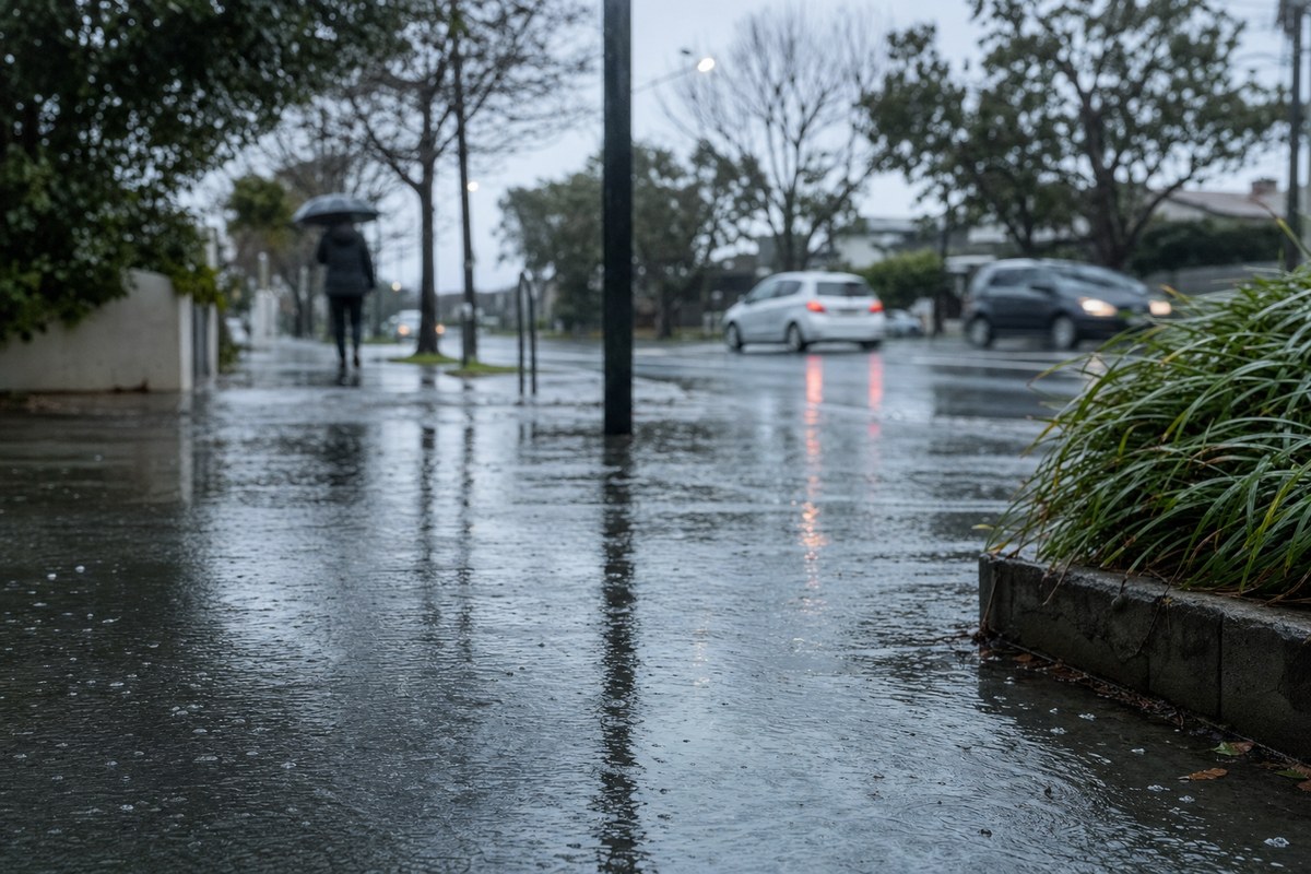
The broader heavy rainfall is expected to ease by Tuesday afternoon, though severe thunderstorms may develop across the state's northern parts during Tuesday afternoon and evening, with a Severe Thunderstorm Warning to follow if that occurs. A Flood Watch remains current for North East catchments, and locations that may be affected include Corryong, Bright, Falls Creek, Mt Hotham, and Mt Buller.
The State Emergency Service has advised residents to avoid travel where possible, stay away from floodwater, mud, debris, damaged roads, and fallen trees, and to monitor warnings through the Bureau of Meteorology and VicEmergency.
The underlying facts come from the originating publisher (linked above). The narrative, industry-impact assessment and per-role analysis below are produced independently by the AVI-GO intelligence team from public information. Cite as: AVI-GO, "Victoria Severe Weather Warning: Heavy Rainfall and Flash Flood Risk for Northeast Ranges on Tuesday" news brief, 2026-08-24.
How to cite
AVI-GO, “Victoria Severe Weather Warning: Heavy Rainfall and Flash Flood Risk for Northeast Ranges on Tuesday”. https://ai.avi-go.com/news/ai-news-center/news-briefs/victoria-severe-weather-warning-heavy-rainfall-and-flash-flood-risk-fo-fbf6f7bf72813d43d34d6a6b2f9853b2
Figures carry an explicit measurement window — cite the window shown on this page, not the date you retrieved it.