Saudel may enter PAR as super typhoon on August 24
PAGASA said Typhoon Saudel, packing 165 km/h winds, could enter the Philippine Area of Responsibility as a super typhoon on August 24 before exiting around August 25.
Original report
www.rappler.com
Industry impact
Business aviation operators serving northern Luzon and Batanes routes face potential weather-related disruption risk as the storm enhances the southwest monsoon and rainfall later in the week.
Typhoon Saudel could enter the Philippine Area of Responsibility (PAR) as a super typhoon on Monday, August 24, PAGASA said. As of 3 pm Sunday, August 23, the storm was 1,950 kilometers east of extreme Northern Luzon, moving northwest at 30 km/h with maximum sustained winds of 165 km/h and gusts up to 205 km/h. PAGASA said Saudel could weaken back to typhoon strength and may exit PAR as early as Tuesday, August 25, though it could linger near PAR's northern boundary if its track shifts westward.
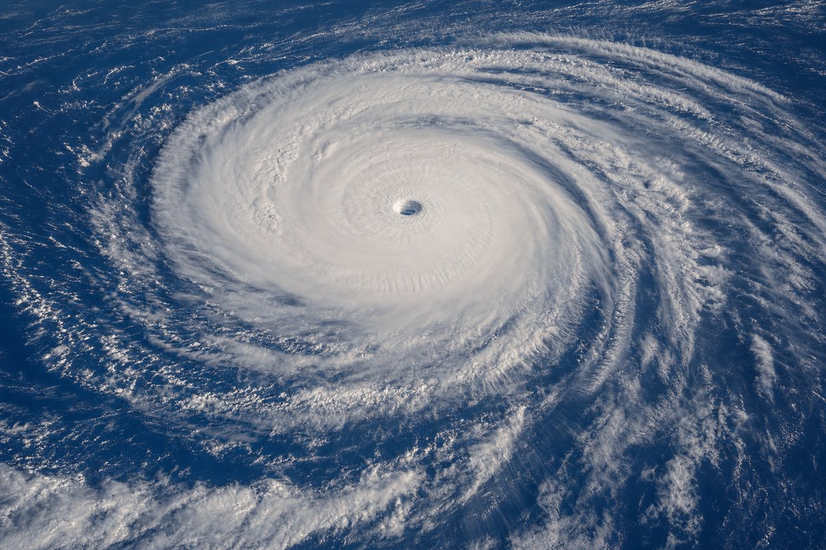
Saudel is not forecast to directly affect Philippine weather, but PAGASA Weather Specialist Charmagne Varilla said it is expected to enhance the southwest monsoon, which has been weak since August 20, potentially triggering significant rainfall starting Wednesday, August 26. PAGASA warned of 50 to 100 millimeters of rain in Batanes from Sunday afternoon to Monday afternoon, with scattered rain and thunderstorms forecast for Cagayan Valley, Metro Manila, the Ilocos Region, the Cordillera Administrative Region, Central Luzon, Rizal, Cavite, Batangas, and Occidental Mindoro.
A separate tropical depression, located 1,265 kilometers east of southeastern Luzon with winds of 55 km/h, was moving away from PAR at 15 km/h; it would be named Obet if it enters PAR before Saudel, which would then be named Pilandok. A third system, former Tropical Depression Neneng (internationally Gaenari), was 520 kilometers north of Itbayat, Batanes, moving southwest toward China at 25 km/h with winds of 55 km/h, and has no impact on the Philippines. PAGASA had estimated up to four cyclones could develop in or enter PAR in August, with three so far: Luis, Maymay (Kujira), and Neneng.
The underlying facts come from the originating publisher (linked above). The narrative, industry-impact assessment and per-role analysis below are produced independently by the AVI-GO intelligence team from public information. Cite as: AVI-GO, "Saudel may enter PAR as super typhoon on August 24" news brief, 2026-08-24.
How to cite
AVI-GO, “Saudel may enter PAR as super typhoon on August 24”. https://ai.avi-go.com/news/ai-news-center/news-briefs/saudel-may-enter-par-as-super-typhoon-on-august-24-7d2b19b668502a02f27bb0c67290db71
Figures carry an explicit measurement window — cite the window shown on this page, not the date you retrieved it.