Overnight Thunderstorms Disrupt Flights and Road Travel Across North America
Overnight thunderstorms from late Saturday into early Sunday disrupted flights at Vancouver International Airport, Atlanta's Hartsfield-Jackson and Charlotte, while heavy rain and flooding hit Mid-Atlantic, Rockies and Southwest roads.
Original report
www.thetraveler.org
Industry impact
Weather disruption at a handful of hub airports cascades into aircraft and crew displacement that outlasts the storms themselves, forcing schedule rebuilds well after skies clear.
What happened
Thunderstorms moving through the Vancouver International Airport region overnight triggered a cascade of flight delays, with some disruptions continuing into Sunday as airlines worked to rebalance aircraft and crews. Passengers were urged to verify departure times directly with their airlines before heading to the terminal.
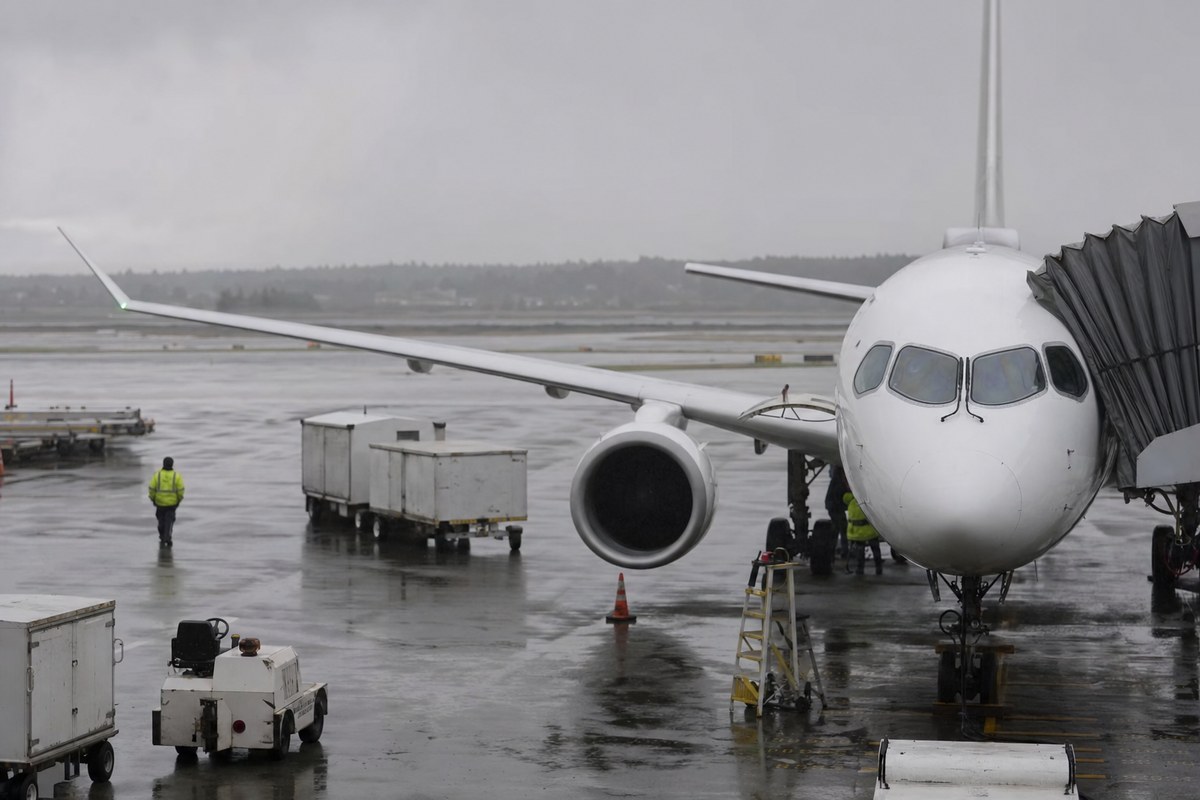
In the United States, Hartsfield-Jackson Atlanta International Airport experienced ground delays caused by thunderstorms late Friday, with gate holds and taxi waits stretching beyond an hour as lightning and heavy rain passed over the airfield. Residual aircraft and crew displacements continued to affect weekend operations. In Charlotte, a weather-related ground stop was reported Friday as thunderstorms rolled across the Carolinas, with flight-tracking data showing hundreds of delayed flights and additional cancellations by late afternoon. Some airlines issued flexible-travel waivers.
On the roads, the National Weather Service highlighted bands of heavy rain and localized flooding across parts of the Mid-Atlantic and interior Northeast on Saturday night into early Sunday. In the central Rockies, forecast discussions cited showers and thunderstorms affecting key routes between Colorado population centers, with heavy rain and wind gusts posing hazards on higher-elevation passes. In the Desert Southwest, an active monsoon pattern brought damaging winds, dust storms, and flash flooding, with the Phoenix forecast office warning that strong outflow winds could reduce visibility.
Industry impact & what to watch
This episode shows how a single overnight convective line can outlast its own weather window: aircraft left out of position at hub airports and crews nearing duty limits forced schedule adjustments well into Sunday even after the storms themselves had cleared. The disruption is not the rain falling, it is the network effect that follows it.
Hub-and-spoke scheduling means a ground stop at one airport, like the one reported in Charlotte, or an hour of gate holds and taxi waits at Atlanta, does not stay local. Airlines have to reposition aircraft and re-crew flights across other airports before the published schedule can resume, which is why waivers were extended for affected travel rather than limited to the storm hours themselves.
Forecasters expect daily thunderstorm chances to persist across the central Plains, Midwest, Southeast, and interior West in the days ahead, with some storms reaching strong or marginally severe levels. The Storm Prediction Center and local forecast offices have flagged continued convective development, so the same recovery pattern is likely to repeat at whichever airports sit under the next line of storms.
Who this affects
- Business Charter Operators — Aircraft and crews left out of position after Friday and Saturday night storms can delay departures at Vancouver, Atlanta and Charlotte well into Sunday.
- Charter Brokers — Clients booked through Vancouver, Atlanta or Charlotte face delay risk that outlasted Friday and Saturday's storms into Sunday.
- Commercial Airports — Atlanta and Charlotte airports face continued schedule recovery after Friday's thunderstorms produced ground stops, gate holds and hundreds of delays.
The underlying facts come from the originating publisher (linked above). The narrative, industry-impact assessment and per-role analysis below are produced independently by the AVI-GO intelligence team from public information. Cite as: AVI-GO, "Overnight Thunderstorms Disrupt Flights and Road Travel Across North America" news brief, 2026-08-24.
How to cite
AVI-GO, “Overnight Thunderstorms Disrupt Flights and Road Travel Across North America”. https://ai.avi-go.com/news/ai-news-center/news-briefs/overnight-thunderstorms-disrupt-flights-and-road-travel-across-north-a-738e4098b8283137fdd58f7948db558b
Figures carry an explicit measurement window — cite the window shown on this page, not the date you retrieved it.