Heavy Rain and Flash Flood Threat to Hit Southeast and Mid-South Starting Tuesday
The FOX Forecast Center and National Weather Service warned that heavy rain and thunderstorms will bring an elevated flash flood risk to the Mid-South and Southeast starting Tuesday through the end of the week.
Original report
www.yahoo.com
Industry impact
Prolonged storm and flash-flood risk across Mid-South and Southeast hubs can disrupt regional business jet movements and routing through the affected corridor this week.
Residents across the Mid-South and Southeast United States are bracing for a prolonged stretch of heavy rain and thunderstorms beginning Tuesday and continuing through the end of the week, with an elevated flash flood threat. The FOX Forecast Center said Gulf moisture surging into the region will fuel efficient rainmaking storms, as an upper-level flow pattern builds a heat ridge to the West and a trough over the East Coast, raising the severe weather threat across the Mid-South and Tennessee Valley.
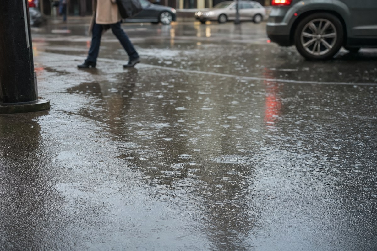
The National Weather Service placed Birmingham, Alabama, and southeastern parts of the state under a Level 1 out of 5 risk for severe storms. A Level 1 out of 4 flash flood threat is set to begin Tuesday and persist through Thursday, with rain totals expected to average 1 to 2 inches across most areas and 2 to 3 inches in higher elevations. Most storms are forecast to stay just below severe levels, though isolated severe storms remain possible in some areas.
The underlying facts come from the originating publisher (linked above). The narrative, industry-impact assessment and per-role analysis below are produced independently by the AVI-GO intelligence team from public information. Cite as: AVI-GO, "Heavy Rain and Flash Flood Threat to Hit Southeast and Mid-South Starting Tuesday" news brief, 2026-08-24.
How to cite
AVI-GO, “Heavy Rain and Flash Flood Threat to Hit Southeast and Mid-South Starting Tuesday”. https://ai.avi-go.com/news/ai-news-center/news-briefs/heavy-rain-and-flash-flood-threat-to-hit-southeast-and-mid-south-start-b18b96ccdbd09f7aa98075f255c7434d
Figures carry an explicit measurement window — cite the window shown on this page, not the date you retrieved it.