Flash Flooding Threat, Severe Storms Forecast Across Central and Southeast Australia
A low pressure system near Ceduna is set to bring flash flooding risk and up to 90 mm of rain across South Australia, Victoria and New South Wales through Wednesday.
Original report
www.miragenews.com
Industry impact
Widespread flooding and a major severe thunderstorm outbreak across south-eastern Australia could disrupt regional aviation operations and flight scheduling through the week.
A low pressure system near Ceduna on South Australia's west coast is bringing widespread rain across eastern South Australia and into the Northern Territory around Alice Springs, and is expected to move toward Adelaide on Monday night. Authorities are monitoring flash flooding risks across the Eyre Peninsula, Yorke Peninsula, Adelaide and the Adelaide Hills, where 20 to 40 mm of rain is expected, with isolated higher totals possible, in catchments already saturated after a wet winter with several major rain events.
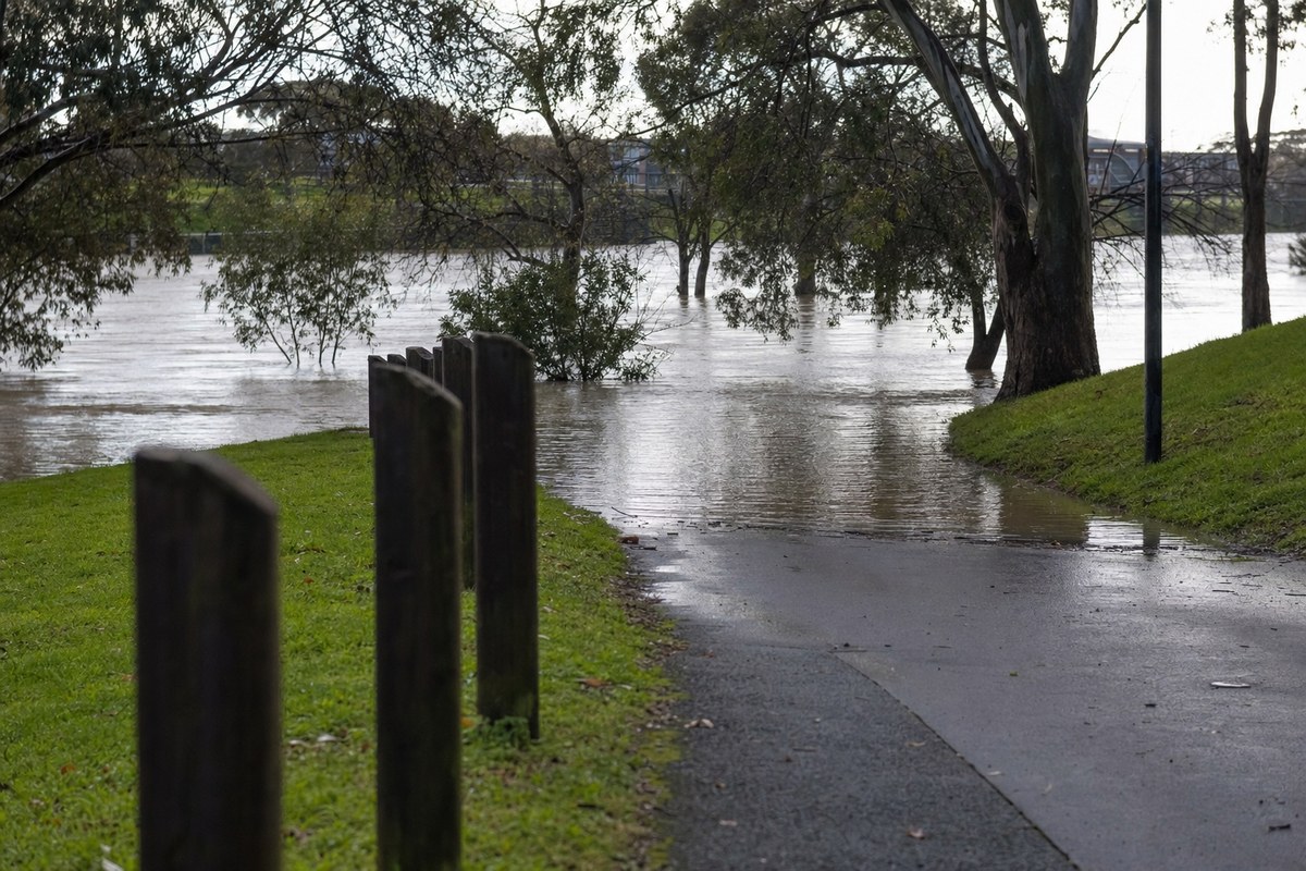
As the system tracks east on Tuesday morning, the focus shifts to the north-east ranges of Victoria and the southern slopes of New South Wales, where 40 to 60 mm is forecast, with isolated totals potentially reaching 80 to 90 mm, including 50 to 60 mm possible in a six-hour window in the north-east Victorian ranges. A Severe Weather Warning is current for those areas, and Flood Warnings are already in place for the Kiewa River, the Murray River near Barham, and the Avoca and Loddon rivers following heavy rain 10 to 12 days ago, alongside a broader Flood Watch.
On Tuesday afternoon, a trough is expected to trigger a significant severe thunderstorm outbreak stretching from central Victoria to southern Queensland, described as likely the first major thunderstorm outbreak of the season for eastern Australia, with heavy rain the primary risk and damaging winds and isolated large hail possible over western New South Wales and southern Queensland. Later Tuesday into Wednesday, the rain focus moves to northern New South Wales and southern Queensland before the system moves offshore into the Tasman Sea on Wednesday, with a high pressure system then bringing settled conditions to the south-east for the rest of the week.
The underlying facts come from the originating publisher (linked above). The narrative, industry-impact assessment and per-role analysis below are produced independently by the AVI-GO intelligence team from public information. Cite as: AVI-GO, "Flash Flooding Threat, Severe Storms Forecast Across Central and Southeast Australia" news brief, 2026-08-24.
How to cite
AVI-GO, “Flash Flooding Threat, Severe Storms Forecast Across Central and Southeast Australia”. https://ai.avi-go.com/news/ai-news-center/news-briefs/flash-flooding-threat-severe-storms-forecast-across-central-and-southe-1c8d313b4ef746a83d6291d9f9323cbe
Figures carry an explicit measurement window — cite the window shown on this page, not the date you retrieved it.