Air New Zealand Cancels Flights as Severe Gales Reach 168 km/h Across Southern and Central New Zealand
Air New Zealand cancelled flights on Sunday after severe gales with gusts reaching 168 km/h at Wellington's Mt Kaukau disrupted airports across southern and central New Zealand.
Original report
www.rnz.co.nz
Industry impact
Localized wind events at a handful of connected airports can cascade into cancellations and diversions across a national network within hours, testing schedule recovery and passenger rebooking capacity.
What happened
A number of [Air New Zealand](/entities/4005914701e659a98ea0880baf5ef691) flights were cancelled on Sunday after severe gales struck southern and central parts of New Zealand, with wind gusts reaching 168 km/h at Wellington's Mt Kaukau. The airline said strong winds disrupted operations at Wellington, Palmerston North, New Plymouth, Blenheim, Invercargill, Dunedin and Queenstown. Wellington Airport reported that two flights were cancelled and two others diverted early Sunday morning.
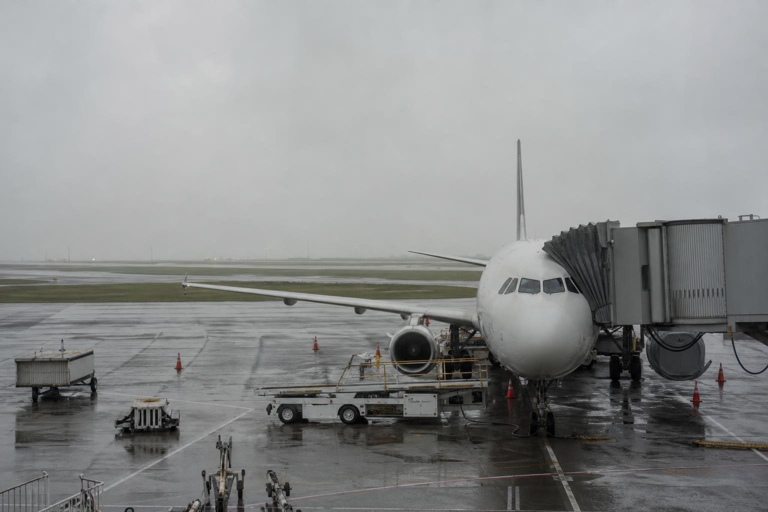
MetService meteorologist Gerard Bellham described conditions as featuring "strong, blustery winds" across central regions. An orange strong wind warning was in effect throughout the day for the Tararua district, while a strong wind watch was in place for inland Hawke's Bay. Both the watch and warning were lifted on Sunday evening.
The gales also caused widespread power outages. More than 650 customers across the Wellington region were affected, while nearly 400 homes lost power in the Wairarapa and around 200 in Manawatū. In the South Island, more than 700 homes experienced unplanned outages in the Marlborough area, more than 300 homes in Tasman lost power, and nearly 400 homes along the West Coast — including Hokitika and Wahapo — were also affected. About 20 homes in Christchurch were impacted as well.
Industry impact & what to watch
Wind-driven disruptions of this kind belong to a recurring category in commercial aviation: a single severe-weather system spreading across a chain of regional airports can force cancellations and diversions at several stations on the same day, even when only a handful of flights are affected at any one field. Wellington's exposure to strong gusts, paired with lower-volume fields such as Blenheim, Invercargill and Queenstown, shows how a national carrier's schedule can absorb simultaneous knock-on effects from one weather front rather than one isolated closure.
How this segment typically manages the exposure is through diversion planning and rebooking flexibility built around known wind-prone stations, since carriers cannot control gust thresholds but can pre-position aircraft and crew to limit cascading delays. Gerard Bellham's forecast of improving, "spring-like" conditions in the coming days points toward near-term relief for the North Island, while the South Island faces a separate risk window from Tuesday with heavy rain and possible snow on Canterbury and Otago hills from Thursday.
Whether operations normalize quickly will depend on how fast the orange warning areas clear and whether the forecast South Island rain and snow trigger a second wave of disruption at Queenstown, Dunedin and Invercargill.
Who this affects
- Commercial Airports — Multiple regional airports faced simultaneous cancellations and diversions from the same wind event on Sunday.
- Business Charter Operators — Charter operators serving the affected South Island and lower North Island airports faced the same gust-driven dispatch and diversion decisions on Sunday.
- Charter Brokers — Brokers routing clients through the affected airports had to flag weather-driven delay and diversion risk tied to the Sunday gales and the South Island's upcoming rain and snow forecast.
The underlying facts come from the originating publisher (linked above). The narrative, industry-impact assessment and per-role analysis below are produced independently by the AVI-GO intelligence team from public information. Cite as: AVI-GO, "Air New Zealand Cancels Flights as Severe Gales Reach 168 km/h Across Southern and Central New Zealand" news brief, 2026-08-24.
How to cite
AVI-GO, “Air New Zealand Cancels Flights as Severe Gales Reach 168 km/h Across Southern and Central New Zealand”. https://ai.avi-go.com/news/ai-news-center/news-briefs/air-new-zealand-cancels-flights-as-severe-gales-reach-168-km-h-across-88b984b309ed9999558a85af23cf5637
Figures carry an explicit measurement window — cite the window shown on this page, not the date you retrieved it.